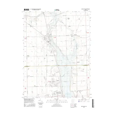
2016 Map of West Milton
USGS Topo · Published 2016About this map
The Stillwater River corridor defines the geography of this 2016 survey, where the river winds south from the West Milton Low Head Reservoir toward the Englewood Recreation Reservoir. The riverside town of West Milton serves as a primary hub, showing a traditional street grid with named thoroughfares like W Market St and S Miami St near the Miami County line. To the south, the expansion of Union and Englewood illustrates the modern suburban growth of the northern Dayton area within Montgomery County.
Find a feature on this map
125 named features on this map. Tap any name to fly to it.
Don’t see what you’re looking for? This feature index may not catch every label — zoom into the map to look around manually.
Map Details
Editions of this 2016 West Milton Map
This is the sole edition of this map. No revisions or reprints were ever made.
Other maps of this area

1904 · Dayton
USGS Topo · 1:62,500

1905 · Brookville
USGS Topo · 1:62,500

1906 · Dayton
USGS Topo · 1:62,500

1911 · Covington
USGS Topo · 1:62,500

1914 · Troy
USGS Topo · 1:62,500

1944 · Covington
USGS Topo · 1:62,500

1944 · Troy
USGS Topo · 1:62,500

1953 · Cincinnati
USGS Topo · 1:250,000

1953 · Muncie
USGS Topo · 1:250,000

1955 · West Milton
USGS Topo · 1:24,000