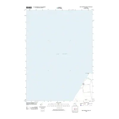
2010 Map of West Ninemile Point
USGS Topo · Published 2010About this map
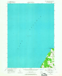
Lake Ontario dominates the vast majority of this coastal landscape, showing the shoreline as it appeared in the early 21st century. The map focuses on the southeastern corner of the quadrangle, where the waters meet the land at West Ninemile Point. This specific location highlights the mouth of Ninemile Creek, which winds its way toward the lake just south of the point.
Find a feature on this map
9 named features on this map. Tap any name to fly to it.
Don’t see what you’re looking for? This feature index may not catch every label — zoom into the map to look around manually.
Map Details
Editions of this 2010 West Ninemile Point Map
This is the sole edition of this map. No revisions or reprints were ever made.
Other maps of this area

1900 · Oswego
USGS Topo · 1:62,500

1902 · Sodus Bay
USGS Topo · 1:62,500

1943 · Oswego West
USGS Topo · 1:31,680

1943 · Hannibal
USGS Topo · 1:31,680

1943 · Fair Haven
USGS Topo · 1:31,680
1943 · North Wolcott
USGS Topo · 1:31,680
1943 · West Ninemile Point
USGS Topo · 1:31,680
1953 · North Wolcott
USGS Topo · 1:24,000
1954 · Hannibal
USGS Topo · 1:24,000
1954 · West Ninemile Point
USGS Topo · 1:24,000