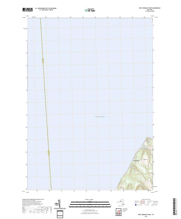
2023 Map of West Ninemile Point
USGS Topo · Published 2023About this map
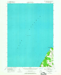
Lake Ontario dominates this 2023 survey of the shoreline along the boundary of Wayne and Cayuga counties. The landscape is characterized by its proximity to the water, with West Ninemile Point forming a distinct coastal feature at the mouth of Ninemile Creek. The residential character of this lakefront area is defined by narrow lanes and local thoroughfares like Ontario Shores Dr and Marsh Rd, which serve the lakeside community at Moon Beach. These roads provide a network for local access between small inland clearings and the lake's edge. The presence of Jensvold Rd and Williams Rd indicates a developed pattern of shoreline property ownership, contrasting with the open expanse of the Great Lake to the north. This study documents the contemporary topographic state of a specific segment of the New York lakefront, where drainage from the interior meets the vast aquatic horizon.
Find a feature on this map
11 named features on this map. Tap any name to fly to it.
Don’t see what you’re looking for? This feature index may not catch every label — zoom into the map to look around manually.
Map Details
Editions of this 2023 West Ninemile Point Map
This is the sole edition of this map. No revisions or reprints were ever made.
Other maps of this area

1900 · Oswego
USGS Topo · 1:62,500

1902 · Sodus Bay
USGS Topo · 1:62,500

1943 · Oswego West
USGS Topo · 1:31,680

1943 · Hannibal
USGS Topo · 1:31,680

1943 · Fair Haven
USGS Topo · 1:31,680
1943 · North Wolcott
USGS Topo · 1:31,680
1943 · West Ninemile Point
USGS Topo · 1:31,680
1953 · North Wolcott
USGS Topo · 1:24,000
1954 · Hannibal
USGS Topo · 1:24,000
1954 · West Ninemile Point
USGS Topo · 1:24,000