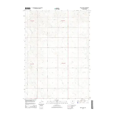
2015 Map of West of Ideal
USGS Topo · Published 2015About this map
Cottonwood Cr and Owl Cr provide the primary drainage for this section of the Great Plains in Tripp County, where the landscape is defined by a rigorous sectional grid. The 2015 survey reveals a terrain of subtle elevation changes, where a network of section-line roads such as 264th St and 304th Ave dictates the movement of agriculture and commerce. This map illustrates the intersection of Township and Range lines, including the boundary between t102n r78w and t102n r77w, showing how 19th-century land surveying principles continue to shape modern South Dakota. The sparse distribution of structures relative to the vast road network emphasizes the large-scale ranching and farming operations typical of this era in the American West.
Find a feature on this map
14 named features on this map. Tap any name to fly to it.
Don’t see what you’re looking for? This feature index may not catch every label — zoom into the map to look around manually.
Map Details
Editions of this 2015 West of Ideal Map
This is the sole edition of this map. No revisions or reprints were ever made.
Other maps of this area

1951 · Presho 4 NE
USGS Topo · 1:24,000

1951 · Ideal NW
USGS Topo · 1:24,000

1951 · Presho 4 NW
USGS Topo · 1:24,000

1955 · Martin
USGS Topo · 1:250,000

1955 · Mitchell
USGS Topo · 1:250,000

1958 · Martin
USGS Topo · 1:250,000

1959 · Mitchell
USGS Topo · 1:250,000

1982 · Presho 4 SE
USGS Topo · 1:25,000

1982 · Two Nation Creek
USGS Topo · 1:25,000

1982 · Witten
USGS Topo · 1:25,000