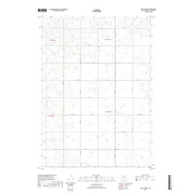
2017 Map of West of Ideal
USGS Topo · Published 2017About this map
Cottonwood Creek and Owl Creek carve through this landscape of the South Dakota plains in the township west of Ideal. The map reveals a highly structured section-line road network, where numbered routes like 306th Avenue and 264th Street define the geography of rural Tripp County. These straight-line boundaries reflect the enduring legacy of the Public Land Survey System, organizing the territory into township units like t102n r77w and t101n r78w. Aside from the occasional Township Road or County Road 6140, the terrain remains dominated by natural drainage patterns and open country. This 2017 edition provides a clear record of the modern rural infrastructure, showing the exact placement of local corridors that have served as the lifelines for agriculture and ranching in the region for generations.
Find a feature on this map
21 named features on this map. Tap any name to fly to it.
Don’t see what you’re looking for? This feature index may not catch every label — zoom into the map to look around manually.
Map Details
Editions of this 2017 West of Ideal Map
This is the sole edition of this map. No revisions or reprints were ever made.
Other maps of this area

1951 · Presho 4 NE
USGS Topo · 1:24,000

1951 · Ideal NW
USGS Topo · 1:24,000

1951 · Presho 4 NW
USGS Topo · 1:24,000

1955 · Martin
USGS Topo · 1:250,000

1955 · Mitchell
USGS Topo · 1:250,000

1958 · Martin
USGS Topo · 1:250,000

1959 · Mitchell
USGS Topo · 1:250,000

1982 · Presho 4 SE
USGS Topo · 1:25,000

1982 · Two Nation Creek
USGS Topo · 1:25,000

1982 · Witten
USGS Topo · 1:25,000