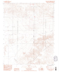
1984 Map of West of Leach Spring
USGS Topo · Published 1984About this map
The Fort Irwin Military Reservation and the U S Naval Reservation dominate this high-desert landscape in the early 1980s. The map captures a strategic cross-section of San Bernardino County where military activity and rugged terrain converge. The Quail Mountains rise to the north while the Granite Mountains occupy the southeastern quadrant, framing the wide expanse of the Pilot Knob Valley. A solitary water source, Myrick Spring, is noted in the southwestern portion of the sheet, a vital landmark in this arid environment. The presence of the San Bernardino Meridian and the Randsburg Road highlights the historical surveying and transportation routes that shaped access to this portion of the Mojave Desert. This provisional map provides a clear view of the land use patterns and natural topography just before the mid-1980s.
Find a feature on this map
12 named features on this map. Tap any name to fly to it.
Don’t see what you’re looking for? This feature index may not catch every label — zoom into the map to look around manually.
Map Details
Editions of this 1984 West of Leach Spring Map
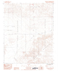
2 editions found
Other maps of this area

1915 · Searles Lake
USGS Topo · 1:250,000

1933 · Avawatz Mountains
USGS Topo · 1:250,000

1947 · Trona
USGS Topo · 1:250,000

1948 · Trona
USGS Topo · 1:250,000

1948 · Quail Mountains
USGS Topo · 1:62,500

1948 · Goldstone Lake
USGS Topo · 1:62,500

1950 · Wingate Pass
USGS Topo · 1:62,500

1951 · Goldstone Lake
USGS Topo · 1:62,500

1951 · Wingate Pass
USGS Topo · 1:62,500

1951 · Quail Mountains
USGS Topo · 1:62,500