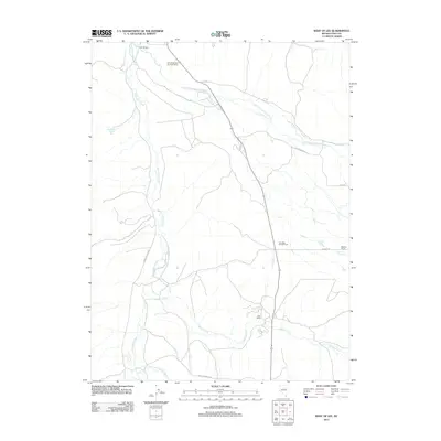
2012 Map of West of Lee
USGS Topo · Published 2012About this map
Ruby Mountain Hereford Ranch and Reed Ranch anchor this pocket of Elko County, where the landscape is defined by the hydrologic network feeding into the South Fork Humboldt River. Cattle ranching and water access dictate the local geography, visible in the alignment of Lee Rd and the Hamilton Stage Rd as they navigate the drainages of Huntington Creek and Willow Creek. The presence of Sleeman Ranch and its associated Sleeman Pond further underscores the importance of surface water in this high-desert environment. Beyond the homesteads, the land provides recreational and transit utility, from the Lee Jiggs Campground to the aptly named Twin Bridges crossing. This survey captures a rural Nevada basin where established family ranches remain the primary landmarks across the floor of Crane Springs Cyn.
Find a feature on this map
17 named features on this map. Tap any name to fly to it.
Don’t see what you’re looking for? This feature index may not catch every label — zoom into the map to look around manually.
Map Details
Editions of this 2012 West of Lee Map
This is the sole edition of this map. No revisions or reprints were ever made.
Other maps of this area

1934 · Jiggs
USGS Topo · 1:125,000

1937 · Jiggs
USGS Topo · 1:125,000

1952 · Dixie Flats
USGS Topo · 1:62,500

1955 · Elko
USGS Topo · 1:250,000

1956 · Robinson Mtn
USGS Topo · 1:62,500

1958 · Elko
USGS Topo · 1:250,000

1959 · Jiggs
USGS Topo · 1:62,500

1962 · Elko
USGS Topo · 1:250,000

1962 · Lee
USGS Topo · 1:62,500

1965 · Elko
USGS Topo · 1:250,000