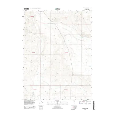
2014 Map of West of Lee
USGS Topo · Published 2014About this map
The South Fork Valley dominates this Elko County landscape, where the S Fork Humboldt River meanders across the high desert terrain. This 2014 survey captures a rural ranching and water-management network defined by the confluence of major waterways like Huntington Creek, Willow Cr, and Cottonwood Cr. The map details a specialized high-altitude infrastructure, including Red Spring Number Ten and several reservoirs such as Sleeman Pond. The transportation layout is primarily composed of local thoroughfares like Lower S Fork Rd and the Upper Bench Rd, which provide access to the valley floor and its surrounding benches. This documentation of the Great Basin's drainage patterns offers a clear view of how water resources are distributed and managed in this arid region of Nevada.
Find a feature on this map
19 named features on this map. Tap any name to fly to it.
Don’t see what you’re looking for? This feature index may not catch every label — zoom into the map to look around manually.
Map Details
Editions of this 2014 West of Lee Map
This is the sole edition of this map. No revisions or reprints were ever made.
Other maps of this area

1934 · Jiggs
USGS Topo · 1:125,000

1937 · Jiggs
USGS Topo · 1:125,000

1952 · Dixie Flats
USGS Topo · 1:62,500

1955 · Elko
USGS Topo · 1:250,000

1956 · Robinson Mtn
USGS Topo · 1:62,500

1958 · Elko
USGS Topo · 1:250,000

1959 · Jiggs
USGS Topo · 1:62,500

1962 · Elko
USGS Topo · 1:250,000

1962 · Lee
USGS Topo · 1:62,500

1965 · Elko
USGS Topo · 1:250,000