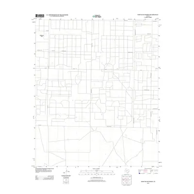
2012 Map of West of Sundown
USGS Topo · Published 2012About this map
Girlstown USA (also labeled Girls Town USA) sits as a primary landmark in this section of the High Plains near the New Mexico border. The landscape is defined by a rigid grid of rural roads and the pervasive infrastructure of the Permian Basin's petroleum industry. The nomenclature of the area reflects this oil-field heritage, with thoroughfares such as Wildcat Rd, Roughneck Rd, Polish Rod Rd, and Sampson Post Rd naming the specific machinery and labor of the trade. While much of the land is partitioned into large rectangular plots for agriculture or ranching, the dense network of smaller local routes like Sagebrush Rd and Tumbleweed Rd indicates the intense spatial organization required to service the subsurface mineral rights in this portion of Hockley County.
Find a feature on this map
18 named features on this map. Tap any name to fly to it.
Don’t see what you’re looking for? This feature index may not catch every label — zoom into the map to look around manually.
Map Details
Editions of this 2012 West of Sundown Map
This is the sole edition of this map. No revisions or reprints were ever made.
Other maps of this area

1954 · Brownfield
USGS Topo · 1:250,000

1958 · Brownfield
USGS Topo · 1:250,000

1962 · Brownfield
USGS Topo · 1:250,000

1965 · Levelland West
USGS Topo · 1:24,000

1965 · Sundown
USGS Topo · 1:24,000

1965 · Plains 1 NE
USGS Topo · 1:24,000

1965 · Whiteface
USGS Topo · 1:24,000

1969 · Plains 1 SE
USGS Topo · 1:24,000

1969 · Pool
USGS Topo · 1:24,000

1970 · Plains 1 SW
USGS Topo · 1:24,000