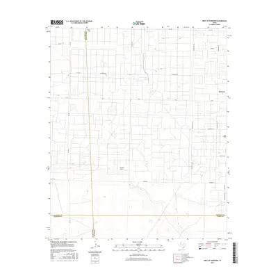
2016 Map of West of Sundown
USGS Topo · Published 2016About this map
Sundown sits at the edge of a landscape defined by its agricultural and industrial heritage, where the High Plains of West Texas meet a grid of rural infrastructure. The terrain is marked by the natural drainage of Lost Draw and Sulphur Draw, which carve subtle paths through the surrounding plains. The local road names, including Roughneck Rd and Polish Rod, speak directly to the region's deep ties to the petroleum industry. This 2016 survey captures a precise intersection of political and physical geography, showing where Hockley and Terry counties meet alongside Cochran County. The interplay between the natural contours of the draws and the rigid geometric layout of Farm to Market roads like Fm 1780 and Fm 301 illustrates the human effort to organize and utilize this arid environment.
Find a feature on this map
22 named features on this map. Tap any name to fly to it.
Don’t see what you’re looking for? This feature index may not catch every label — zoom into the map to look around manually.
Map Details
Editions of this 2016 West of Sundown Map
This is the sole edition of this map. No revisions or reprints were ever made.
Other maps of this area

1954 · Brownfield
USGS Topo · 1:250,000

1958 · Brownfield
USGS Topo · 1:250,000

1962 · Brownfield
USGS Topo · 1:250,000

1965 · Levelland West
USGS Topo · 1:24,000

1965 · Sundown
USGS Topo · 1:24,000

1965 · Plains 1 NE
USGS Topo · 1:24,000

1965 · Whiteface
USGS Topo · 1:24,000

1969 · Plains 1 SE
USGS Topo · 1:24,000

1969 · Pool
USGS Topo · 1:24,000

1970 · Plains 1 SW
USGS Topo · 1:24,000