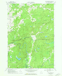
1969 Map of West Pierrepont
USGS Topo · Published 1971About this map
West Pierrepont and the surrounding township of Clare anchor this landscape in the northern foothills of the Adirondacks during the late 1960s. The area is defined by a dense network of family-named intersections such as Moores Corners, Van House Corners, and Endersbees Corners, reflecting a deeply rooted rural settlement pattern. The rugged hydraulic character of the Grass River is evident through significant drops at Harper Falls and Lampsons Falls, while the South Branch Grass River and Middle Branch wind through the southern timberlands. Public lands dominate the topography, with the Donnerville State Forest and the northern edge of the Adirondack State Park preserving the wild character of the region. An Old Railroad Grade cutting through the forest provides a tangible link to the area's historical logging and industrial transport era, alongside quiet water bodies like Boyd Pond and the marshy expanses of Big Swamp.
Find a feature on this map
63 named features on this map. Tap any name to fly to it.
Don’t see what you’re looking for? This feature index may not catch every label — zoom into the map to look around manually.
Map Details
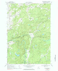
Editions of this 1969 West Pierrepont Map
2 editions found
Other maps of this area

1908 · Potsdam
USGS Topo · 1:62,500

1910 · Canton
USGS Topo · 1:62,500

1911 · Canton
USGS Topo · 1:62,500

1915 · Russell
USGS Topo · 1:62,500

1918 · Russell
USGS Topo · 1:62,500

1921 · Stark
USGS Topo · 1:62,500

1923 · Stark
USGS Topo · 1:62,500

1940 · Stark
USGS Topo · 1:62,500
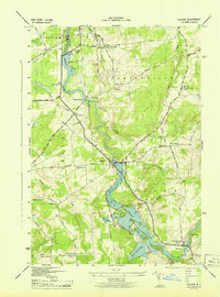
1943 · Colton
USGS Topo · 1:31,680
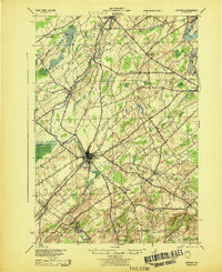
1944 · Canton
USGS Topo · 1:62,500