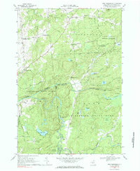
1969 Map of West Pierrepont
USGS Topo · Published 1985About this map
North Branch Grass River and the Middle Branch Grass River dominate this portion of St. Lawrence County, charting a course through a landscape of state-managed timberlands and small rural junctions. The map reveals a pattern of dispersed settlement concentrated at named crossroads, including West Pierrepont, Deans Corners, and Moores Corners. These hamlets served as local hubs for the surrounding farmsteads and logging operations during the late 1960s. Significant elevation changes are marked by notable cascades such as Lampsons Falls and Harper Falls along the river's path. Large tracts of protected land, including the Donnerville State Forest and portions of the Adirondack State Park, reflect the region's transition toward conservation and recreation. Notable local landmarks such as Boyd Pond and the Landing Strip near Burns Flat provide specific points of interest for genealogists and local historians tracing family holdings in the townships of Russell, Pierrepont, and Clare.
Find a feature on this map
71 named features on this map. Tap any name to fly to it.
Don’t see what you’re looking for? This feature index may not catch every label — zoom into the map to look around manually.
Map Details
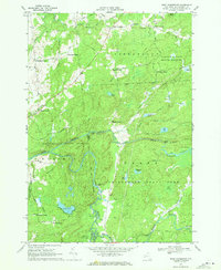
Editions of this 1969 West Pierrepont Map
2 editions found
Other maps of this area

1908 · Potsdam
USGS Topo · 1:62,500

1910 · Canton
USGS Topo · 1:62,500

1911 · Canton
USGS Topo · 1:62,500

1915 · Russell
USGS Topo · 1:62,500

1918 · Russell
USGS Topo · 1:62,500

1921 · Stark
USGS Topo · 1:62,500

1923 · Stark
USGS Topo · 1:62,500

1940 · Stark
USGS Topo · 1:62,500
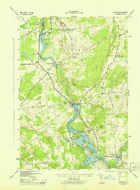
1943 · Colton
USGS Topo · 1:31,680
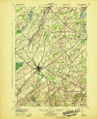
1944 · Canton
USGS Topo · 1:62,500