
1984 Map of West Point
USGS Topo · Published 1984About this map
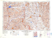
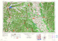
Grenada Lake and the Tombigbee National Forest dominate the North-Central Mississippi landscape in this 1984 edition by the Mississippi River Commission. The region is defined by its drainage basins, where the Yalobusha River and Skuna River feed into the massive reservoir at Grenada, while the Tombigbee River and Aliceville Lake define the eastern border near Alabama.
Find a feature on this map
150 named features on this map. Tap any name to fly to it.
Don’t see what you’re looking for? This feature index may not catch every label — zoom into the map to look around manually.
Map Details
Editions of this 1984 West Point Map
3 editions found
Other maps of this area

1927 · Eutaw
USGS Topo · 1:48,000

1931 · Eutaw
USGS Topo · 1:62,500

1932 · Philipp
USGS Topo · 1:48,000

1935 · Crowder
USGS Topo · 1:62,500

1935 · Philipp
USGS Topo · 1:62,500

1936 · Greenwood
USGS Topo · 1:62,500

1939 · Crowder
USGS Topo · 1:62,500

1939 · Philipp
USGS Topo · 1:62,500

1940 · Seven Pines
USGS Topo · 1:62,500

1940 · Lexington
USGS Topo · 1:62,500