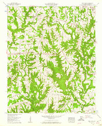
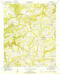
1958 Map of West Point
USGS Topo · Published 1960About this map
West Point sits at the northern edge of this North Alabama landscape, where the rural topography is defined by the significant rise of Hog Mountain and the Mountain Divide. Mapping by the Tennessee Valley Authority in the late 1950s captures a community structured around small agricultural clearings and an extensive network of country churches, including Missionary Grove Ch, Salem Ch, and Fellowship Ch. The drainage patterns of Crooked Creek and its many tributaries like Sweetgum Hollow Branch dictate the placement of early roads and settlements. Landmarks such as the Grandview Lookout Tower on Haynes Mountain and family-named sites like Pullen Cem or the Hartwic Cem provide essential anchor points for genealogists and local historians tracing the mid-century development of Cullman County.
Find a feature on this map
34 named features on this map. Tap any name to fly to it.
Don’t see what you’re looking for? This feature index may not catch every label — zoom into the map to look around manually.
Map Details
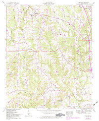
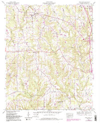
Editions of this 1958 West Point Map
3 editions found
Other maps of this area

1888 · Cullman
USGS Topo · 1:125,000

1892 · Cullman
USGS Topo · 1:125,000

1927 · Falkville
USGS Topo · 1:24,000

1935 · Danville
USGS Topo · 1:48,000

1936 · Mc Kendry
USGS Topo · 1:24,000

1936 · Eva
USGS Topo · 1:24,000

1938 · Danville
USGS Topo · 1:62,500

1949 · Falkville
USGS Topo · 1:24,000
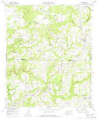
1949 · Eva
USGS Topo · 1:24,000
1951 · Eva
USGS Topo · 1:24,000