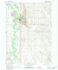
1966 Map of West Point
USGS Topo · Published 1983About this map
West Point serves as the focal point of this Cuming County landscape, positioned along the banks of the Elkhorn River. The town's mid-century layout is detailed through its civic and spiritual centers, including St Josephs Ch, the County Fairground, and the adjacent Neligh Park. To the north and south, the valley is marked by oxbow remnants and water bodies like McKirahan Lake and Horseshoe Lake, reflecting the shifting nature of the river's course over time.
Find a feature on this map
27 named features on this map. Tap any name to fly to it.
Don’t see what you’re looking for? This feature index may not catch every label — zoom into the map to look around manually.
Map Details
Editions of this 1966 West Point Map
2 editions found
Other maps of this area

1955 · Fremont
USGS Topo · 1:250,000

1957 · Fremont
USGS Topo · 1:250,000

1958 · Fremont
USGS Topo · 1:250,000

1966 · West Point NW
USGS Topo · 1:24,000

1966 · West Point SE
USGS Topo · 1:24,000

1966 · Uehling
USGS Topo · 1:24,000

1966 · Monterey
USGS Topo · 1:24,000
1966 · Beemer
USGS Topo · 1:24,000

1966 · Snyder
USGS Topo · 1:24,000

1966 · West Point NE
USGS Topo · 1:24,000