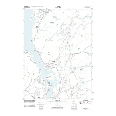
2010 Map of West Point
USGS Topo · Published 2010About this map
The Hudson River carves a deep path through this Highlands corridor, anchoring the military and industrial geography of the region. On the western shore, the grounds of West Point dominate the bend at Worlds End, looking across to Constitution Island and the marshes of Foundry Cove. This 2010 survey highlights the complex topography surrounding Cold Spring and Nelsonville, where the land rises sharply toward peaks like Bull Hill and South Beacon Mountain.
Find a feature on this map
123 named features on this map. Tap any name to fly to it.
Don’t see what you’re looking for? This feature index may not catch every label — zoom into the map to look around manually.
Map Details
Editions of this 2010 West Point Map
This is the sole edition of this map. No revisions or reprints were ever made.
Other maps of this area

1892 · West Point
USGS Topo · 1:62,500

1893 · Poughkeepsie
USGS Topo · 1:62,500

1894 · West Point
USGS Topo · 1:62,500

1894 · Poughkeepsie
USGS Topo · 1:62,500

1899 · West Point
USGS Topo · 1:62,500

1901 · West Point
USGS Topo · 1:62,500

1902 · Schunemunk
USGS Topo · 1:62,500

1903 · Poughkeepsie
USGS Topo · 1:62,500

1903 · Newburg
USGS Topo · 1:62,500

1930 · Schunemunk
USGS Topo · 1:48,000