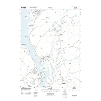
2013 Map of West Point
USGS Topo · Published 2013About this map
The United States Military Academy campus dominates the western bank of the Hudson River, showcasing the intricate layout of the Ordnance Compound and athletic landmarks like Michie Stadium. This 2013 survey captures the river at its narrowest point between Gees Point and Constitution Island, a location known as Worlds End. To the east, the villages of Cold Spring and Nelsonville are shown in high detail, preserved alongside the rugged highlands of Scofield Ridge and Bull Hill.
Find a feature on this map
217 named features on this map. Tap any name to fly to it.
Don’t see what you’re looking for? This feature index may not catch every label — zoom into the map to look around manually.
Map Details
Editions of this 2013 West Point Map
This is the sole edition of this map. No revisions or reprints were ever made.
Other maps of this area

1892 · West Point
USGS Topo · 1:62,500

1893 · Poughkeepsie
USGS Topo · 1:62,500

1894 · West Point
USGS Topo · 1:62,500

1894 · Poughkeepsie
USGS Topo · 1:62,500

1899 · West Point
USGS Topo · 1:62,500

1901 · West Point
USGS Topo · 1:62,500

1902 · Schunemunk
USGS Topo · 1:62,500

1903 · Poughkeepsie
USGS Topo · 1:62,500

1903 · Newburg
USGS Topo · 1:62,500

1930 · Schunemunk
USGS Topo · 1:48,000