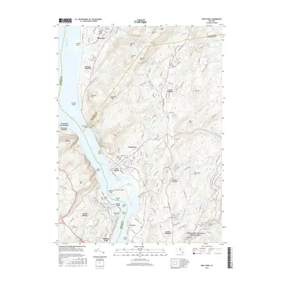
2016 Map of West Point
USGS Topo · Published 2016About this map
The United States Military Academy and the village of West Point occupy the strategic high ground of the Hudson Highlands, where the Hudson River narrows at Worlds End. This 2016 survey highlights the complex relationship between military installation, historic settlements like Cold Spring and Garrison, and the protected wilderness of the surrounding peaks. Across the water from the academy, Constitution Island and its associated marsh remain prominent landmarks of the river's geography.
Find a feature on this map
185 named features on this map. Tap any name to fly to it.
Don’t see what you’re looking for? This feature index may not catch every label — zoom into the map to look around manually.
Map Details
Editions of this 2016 West Point Map
This is the sole edition of this map. No revisions or reprints were ever made.
Other maps of this area

1892 · West Point
USGS Topo · 1:62,500

1893 · Poughkeepsie
USGS Topo · 1:62,500

1894 · West Point
USGS Topo · 1:62,500

1894 · Poughkeepsie
USGS Topo · 1:62,500

1899 · West Point
USGS Topo · 1:62,500

1901 · West Point
USGS Topo · 1:62,500

1902 · Schunemunk
USGS Topo · 1:62,500

1903 · Poughkeepsie
USGS Topo · 1:62,500

1903 · Newburg
USGS Topo · 1:62,500

1930 · Schunemunk
USGS Topo · 1:48,000