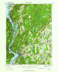
1936 Map of West Point
USGS Topo · Published 1963About this map
The West Point Military Reservation and the winding Hudson River dominate this mid-1930s landscape, illustrating the intersection of military tradition, industrial transport, and the early preservation of the Hudson Highlands. Beyond the granite heights of Bear Mountain and Storm King Mtn, the map reveals a complex infrastructure of the era, from the path of the Catskill Aqueduct to the New York Central RR tracks hugging the shoreline. This period shows a transition toward leisure and conservation, evidenced by the establishment of Clarence Fahnestock Memorial Park and the rugged path of the Appalachian Trail. Locally significant sites such as Mahopac Mines and the historic Continental Village appear alongside numerous rural schools like the Manitou Sch and Foshay Sch, documenting the distributed communities of Putnam Valley and Yorktown before modern suburbanization transformed the region.
Find a feature on this map
231 named features on this map. Tap any name to fly to it.
Don’t see what you’re looking for? This feature index may not catch every label — zoom into the map to look around manually.
Map Details
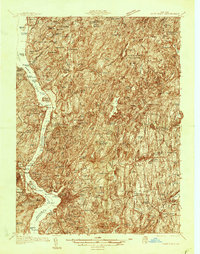
Editions of this 1936 West Point Map
2 editions found
Other maps of this area

1891 · Ramapo
USGS Topo · 1:62,500

1892 · Stamford
USGS Topo · 1:62,500

1892 · West Point
USGS Topo · 1:62,500

1892 · Carmel
USGS Topo · 1:62,500

1892 · Tarrytown
USGS Topo · 1:62,500

1893 · Carmel
USGS Topo · 1:62,500

1893 · Stamford
USGS Topo · 1:62,500

1893 · Tarrytown
USGS Topo · 1:62,500

1893 · Ramapo
USGS Topo · 1:62,500

1893 · Clove
USGS Topo · 1:62,500