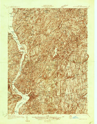
1936 Map of West Point
USGS Topo · Published 1936About this map
West Point Military Reservation dominates the west bank of the Hudson River in this mid-1930s survey, showing the tactical and institutional layout of the academy grounds. The surrounding landscape is a complex of state and military lands, including the State Military Reservation near Peekskill and several New Deal-era installations like CCC Camp Cornwall No 226. The map captures a moment when the Bear Mountain Bridge served as a vital connector for the New York Central Railroad corridor.
Find a feature on this map
213 named features on this map. Tap any name to fly to it.
Don’t see what you’re looking for? This feature index may not catch every label — zoom into the map to look around manually.
Map Details
Editions of this 1936 West Point Map
2 editions found
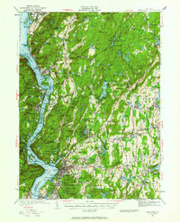
Other maps of this area

1891 · Ramapo
USGS Topo · 1:62,500

1892 · Stamford
USGS Topo · 1:62,500

1892 · West Point
USGS Topo · 1:62,500

1892 · Carmel
USGS Topo · 1:62,500

1892 · Tarrytown
USGS Topo · 1:62,500

1893 · Carmel
USGS Topo · 1:62,500

1893 · Stamford
USGS Topo · 1:62,500

1893 · Tarrytown
USGS Topo · 1:62,500

1893 · Ramapo
USGS Topo · 1:62,500

1893 · Clove
USGS Topo · 1:62,500