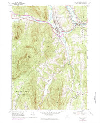
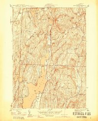
1964 Map of West Rutland
USGS Topo · Published 1984About this map
The Castleton River and Clarendon River converge near the industrial corridor of West Rutland, where the landscape is defined by extensive extraction operations and historic transport routes. Numerous Quarries and Gravel Pits are concentrated along the rail lines, reflecting the region's long-standing stone industry. The Delaware and Hudson RR and an Old Railroad Grade track through the valleys, connecting the manufacturing centers of Center Rutland with smaller outlying settlements like Ira and Chippenhook. Local community life is documented through the presence of institutions such as St Stanislaus Kostka Sch and the St Joseph Novitiate. The terrain rises sharply away from the river valleys toward prominent peaks like Herrick Mountain and Bird Mountain, while rural life in the flats is marked by scattered landmarks including the Town Hall in Ira and several neighborhood burying grounds like Edmunds Cem and West Clarendon Cem.
Find a feature on this map
51 named features on this map. Tap any name to fly to it.
Don’t see what you’re looking for? This feature index may not catch every label — zoom into the map to look around manually.
Map Details
Editions of this 1964 West Rutland Map
4 editions found
Other maps of this area

1891 · Rutland
USGS Topo · 1:62,500

1893 · Wallingford
USGS Topo · 1:62,500

1893 · Rutland
USGS Topo · 1:62,500

1894 · Pawlet
USGS Topo · 1:62,500

1895 · Castleton
USGS Topo · 1:62,500

1897 · Pawlet
USGS Topo · 1:62,500

1897 · Castleton
USGS Topo · 1:62,500

1903 · Mettawee
USGS Topo · 1:125,000

1944 · Proctor
USGS Topo · 1:31,680
1944 · Bomoseen
USGS Topo · 1:31,680