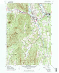
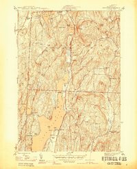
1964 Map of West Rutland
USGS Topo · Published 1984About this map
The Castleton River and Otter Creek define the industrial and residential corridors of this central Vermont landscape. The mapping reveals a region heavily shaped by mineral extraction, with numerous quarries and gravel pits dotting the terrain from Center Rutland westward toward Castleton. This era of development is marked by the presence of the Delaware and Hudson railroad and a significant railroad grade following the Clarendon River valley.
Find a feature on this map
50 named features on this map. Tap any name to fly to it.
Don’t see what you’re looking for? This feature index may not catch every label — zoom into the map to look around manually.
Map Details
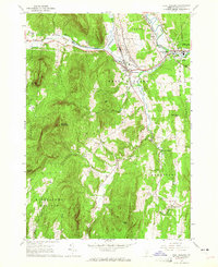
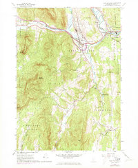
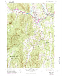
Editions of this 1964 West Rutland Map
4 editions found
Other maps of this area

1891 · Rutland
USGS Topo · 1:62,500

1893 · Wallingford
USGS Topo · 1:62,500

1893 · Rutland
USGS Topo · 1:62,500

1894 · Pawlet
USGS Topo · 1:62,500

1895 · Castleton
USGS Topo · 1:62,500

1897 · Pawlet
USGS Topo · 1:62,500

1897 · Castleton
USGS Topo · 1:62,500

1903 · Mettawee
USGS Topo · 1:125,000

1944 · Proctor
USGS Topo · 1:31,680
1944 · Bomoseen
USGS Topo · 1:31,680