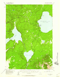
1956 Map of West Thumb
USGS Topo · Published 1958About this map
The Continental Divide winds across this portion of Yellowstone National Park, carving a high-altitude landscape where the hydrothermal features of the West Thumb Geyser Basin meet the deep cold waters of Yellowstone Lake. In the mid-1950s, the park's internal infrastructure relied on the Grand Loop Road and the South Entrance Road, which intersect near the Thumb Paintpots. This survey illustrates the relationship between the volcanic Pitchstone Plateau and the park's great lakes, including the isolated Shoshone Lake and Lewis Lake. Notable for backcountry researchers, the map identifies the Aster Creek Patrol Cabin and the thermal activity near Mount Sheridan, such as the Heart Lake Geyser Basin and Rustic Geyser, offering a precise view of the park's interior wilderness before modern developments.
Find a feature on this map
37 named features on this map. Tap any name to fly to it.
Don’t see what you’re looking for? This feature index may not catch every label — zoom into the map to look around manually.
Map Details
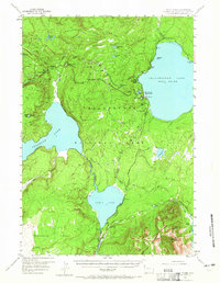
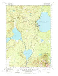
Editions of this 1956 West Thumb Map
3 editions found
Other maps of this area

1885 · Lake
USGS Topo · 1:125,000

1885 · Gallatin
USGS Topo · 1:125,000

1885 · Gallatin
USGS Topo · 1:125,000

1886 · Shoshone
USGS Topo · 1:125,000

1886 · Canyon
USGS Topo · 1:125,000

1888 · Shoshone
USGS Topo · 1:125,000

1895 · Shoshone
USGS Topo · 1:125,000

1895 · Canyon
USGS Topo · 1:125,000

1895 · Lake
USGS Topo · 1:125,000

1896 · Lake
USGS Topo · 1:125,000