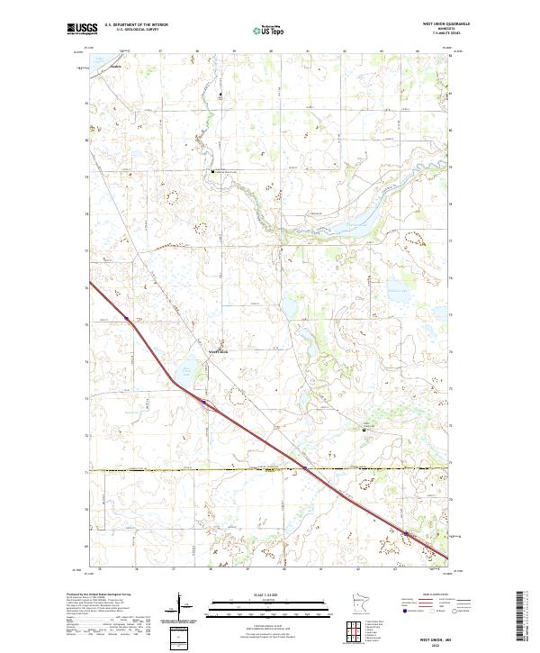
2022 Map of West Union
USGS Topo · Published 2022About this map
The settlement of West Union and its surrounding agricultural landscape are the focus of this contemporary survey, situated along the border of Todd and Stearns Counties. Interstate 94 cuts diagonally across the terrain, passing just north of West Union Lake and south of the town center. The topography is defined by its glacial hydrology, with numerous small water bodies and wetlands such as William Lake, Guernsey Lake, and Slough Lake scattered across the township lines.
Find a feature on this map
61 named features on this map. Tap any name to fly to it.
Don’t see what you’re looking for? This feature index may not catch every label — zoom into the map to look around manually.
Map Details
Editions of this 2022 West Union Map
This is the sole edition of this map. No revisions or reprints were ever made.
Other maps of this area

1953 · Saint Cloud
USGS Topo · 1:250,000

1957 · Saint Cloud
USGS Topo · 1:250,000

1958 · Saint Cloud
USGS Topo · 1:250,000

1965 · Westport
USGS Topo · 1:24,000

1965 · Sauk Centre
USGS Topo · 1:24,000

1965 · Raymond Lake
USGS Topo · 1:24,000

1966 · West Union
USGS Topo · 1:24,000

1966 · Osakis
USGS Topo · 1:24,000
1966 · Sauk Lake
USGS Topo · 1:24,000

1966 · Lake Osakis East
USGS Topo · 1:24,000