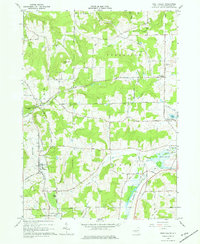
1964 Map of West Valley
USGS Topo · Published 1976About this map
The hamlets of West Valley and Yorkshire anchor this mid-1960s survey of the northern Cattaraugus County landscape. The topography is defined by significant ridges like Bread Loaf Hill and Burns Hill, which direct the flow of waterways such as Gooseneck Creek and Ischua Creek. Small rural clusters like Riceville and Brewer Corners appear alongside several family-named landmarks and cemeteries, including Mc Kinstry Cem and Holland Cem, providing valuable data for genealogical research.
Find a feature on this map
63 named features on this map. Tap any name to fly to it.
Don’t see what you’re looking for? This feature index may not catch every label — zoom into the map to look around manually.
Map Details
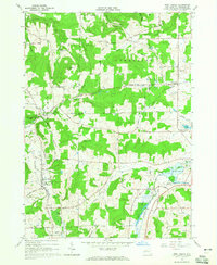
Editions of this 1964 West Valley Map
2 editions found
Other maps of this area

1923 · Arcade
USGS Topo · 1:62,500

1924 · Ellicottville
USGS Topo · 1:62,500

1924 · Franklinville
USGS Topo · 1:62,500

1925 · Springville
USGS Topo · 1:62,500

1925 · Arcade
USGS Topo · 1:62,500

1941 · Ellicottville
USGS Topo · 1:62,500

1942 · Franklinville
USGS Topo · 1:62,500
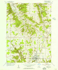
1954 · Springville
USGS Topo · 1:24,000

1957 · Sardinia
USGS Topo · 1:24,000

1960 · Buffalo
USGS Topo · 1:250,000