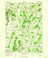
1943 Map of West Winfield
USGS Topo · Published 1960About this map
West Winfield and the surrounding dairy country sit at the convergence of three counties—Oneida, Herkimer, and Otsego—during the early 1940s. The landscape is defined by the headwaters of the Unadilla River and the corridor of the Delaware Lackawanna and Western railroad, which links the villages of Bridgewater and East Winfield. Numerous family-named crossroads like Ludlow Corners, Days Corners, and Goodiers Corners highlight the agrarian settlement pattern of the era. To the north, the terrain climbs toward Jerusalem Hill and Dry Hill, while local landmarks like the Meeting House Green and Cedar Lake serve as social and geographic anchors. For genealogists, the map is remarkably dense with burial grounds, including St Marys Cem, Gird Cem, and the Sauquoit Valley Cem, providing a precise record of the community’s historical footprint.
Find a feature on this map
47 named features on this map. Tap any name to fly to it.
Don’t see what you’re looking for? This feature index may not catch every label — zoom into the map to look around manually.
Map Details
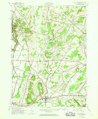
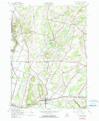
Editions of this 1943 West Winfield Map
3 editions found
Other maps of this area

1895 · Oriskany
USGS Topo · 1:62,500

1898 · Utica
USGS Topo · 1:62,500

1898 · Oriskany
USGS Topo · 1:62,500

1900 · Utica
USGS Topo · 1:62,500

1907 · Winfield
USGS Topo · 1:62,500

1907 · Sangerfield
USGS Topo · 1:62,500

1943 · Schuyler Lake
USGS Topo · 1:24,000

1943 · Utica East
USGS Topo · 1:24,000

1943 · Millers Mills
USGS Topo · 1:24,000

1943 · Cassville
USGS Topo · 1:24,000