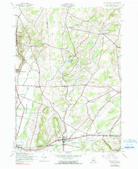
1943 Map of West Winfield
USGS Topo · Published 1990About this map
The Unadilla River and its west branch carve through this upland region of New York, marking the convergence of Oneida and Herkimer counties. At the heart of the valley, West Winfield serves as a central hub, connected to the surrounding countryside by the Delaware Lackawanna and Western railroad. This line passes through crucial transit points like Ritchfield Junction and Clayville, where the industrial and agricultural output of the mid-20th century moved to market.
Find a feature on this map
44 named features on this map. Tap any name to fly to it.
Don’t see what you’re looking for? This feature index may not catch every label — zoom into the map to look around manually.
Map Details
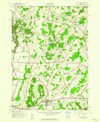
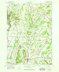
Editions of this 1943 West Winfield Map
3 editions found
Other maps of this area

1895 · Oriskany
USGS Topo · 1:62,500

1898 · Utica
USGS Topo · 1:62,500

1898 · Oriskany
USGS Topo · 1:62,500

1900 · Utica
USGS Topo · 1:62,500

1907 · Winfield
USGS Topo · 1:62,500

1907 · Sangerfield
USGS Topo · 1:62,500

1943 · Schuyler Lake
USGS Topo · 1:24,000

1943 · Utica East
USGS Topo · 1:24,000

1943 · Millers Mills
USGS Topo · 1:24,000

1943 · Cassville
USGS Topo · 1:24,000