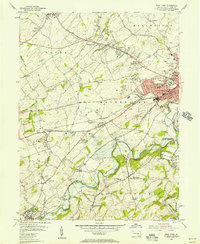
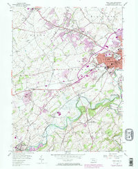
1954 Map of West York
USGS Topo · Published 1956About this map
West York and the western edge of York anchor this mid-century landscape, characterized by the convergence of rail corridors and industrial expansion. The Western Maryland RR and Maryland and Pennsylvania RR cut through the terrain, connecting established manufacturing centers and local quarries. Residential growth is evident in settlements like Shiloh and Weigelstown, while smaller communities such as New Salem and Thomasville maintain a more rural character.
Find a feature on this map
80 named features on this map. Tap any name to fly to it.
Don’t see what you’re looking for? This feature index may not catch every label — zoom into the map to look around manually.
Map Details
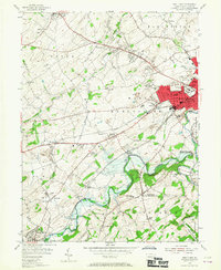
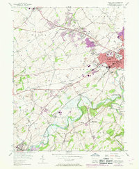
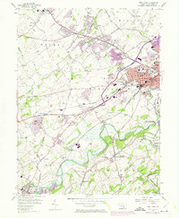
Editions of this 1954 West York Map
5 editions found
Other maps of this area

1906 · New Cumberland
USGS Topo · 1:62,500

1908 · Middletown
USGS Topo · 1:62,500

1908 · York
USGS Topo · 1:62,500

1910 · York
USGS Topo · 1:62,500

1920 · Hanover
USGS Topo · 1:62,500

1922 · Hanover
USGS Topo · 1:62,500

1943 · New Cumberland
USGS Topo · 1:62,500

1943 · Middletown
USGS Topo · 1:62,500

1948 · Baltimore
USGS Topo · 1:250,000

1950 · Harrisburg
USGS Topo · 1:250,000