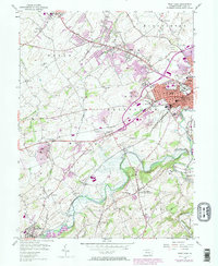
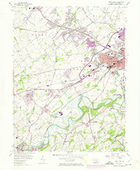
1954 Map of West York
USGS Topo · Published 1974About this map
Codorus Creek winds through the southern reaches of this landscape, its path shaped by the Indian Rock Dam and the confluence with the South Branch. In the mid-1950s, the rural character of York County was beginning to give way to suburban expansion, evidenced by the purple revisions showing growth around Weigelstown, Shiloh, and West York. The industrial and transit foundations of the region are clearly defined by the diverging lines of the Penn Central, Western Maryland, and Maryland and Pennsylvania railroads.
Find a feature on this map
70 named features on this map. Tap any name to fly to it.
Don’t see what you’re looking for? This feature index may not catch every label — zoom into the map to look around manually.
Map Details
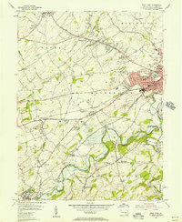
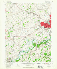
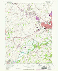
Editions of this 1954 West York Map
5 editions found
Other maps of this area

1906 · New Cumberland
USGS Topo · 1:62,500

1908 · Middletown
USGS Topo · 1:62,500

1908 · York
USGS Topo · 1:62,500

1910 · York
USGS Topo · 1:62,500

1920 · Hanover
USGS Topo · 1:62,500

1922 · Hanover
USGS Topo · 1:62,500

1943 · New Cumberland
USGS Topo · 1:62,500

1943 · Middletown
USGS Topo · 1:62,500

1948 · Baltimore
USGS Topo · 1:250,000

1950 · Harrisburg
USGS Topo · 1:250,000