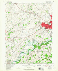
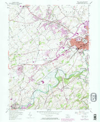
1954 Map of West York
USGS Topo · Published 1967About this map
The industrial and residential growth of York and West York anchors the eastern edge of this mid-century Pennsylvania landscape. A dense network of transport and infrastructure fans out from the city, including the Airport, the Fairgrounds, and the Maryland and Pennsylvania railroad lines. To the south and west, the landscape transitions into a series of smaller rural hubs and family-named landmarks like Thomasville, Bair, and Stoverstown. The importance of water management and recreation is evident in the presence of the Indian Rock Dam along Codorus Creek, alongside community spaces like the Graybillview Golf Course. Genealogists will find a high density of local history markers, including Strayers Cemetery and St Pauls Union Church, which represent the long-standing foundations of the Jackson and North Codorus townships during this era of post-war expansion.
Find a feature on this map
75 named features on this map. Tap any name to fly to it.
Don’t see what you’re looking for? This feature index may not catch every label — zoom into the map to look around manually.
Map Details
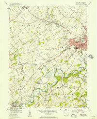
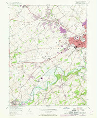
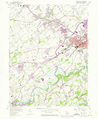
Editions of this 1954 West York Map
5 editions found
Other maps of this area

1906 · New Cumberland
USGS Topo · 1:62,500

1908 · Middletown
USGS Topo · 1:62,500

1908 · York
USGS Topo · 1:62,500

1910 · York
USGS Topo · 1:62,500

1920 · Hanover
USGS Topo · 1:62,500

1922 · Hanover
USGS Topo · 1:62,500

1943 · New Cumberland
USGS Topo · 1:62,500

1943 · Middletown
USGS Topo · 1:62,500

1948 · Baltimore
USGS Topo · 1:250,000

1950 · Harrisburg
USGS Topo · 1:250,000