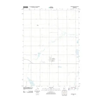
2010 Map of Westbrook
USGS Topo · Published 2010About this map
Westbrook serves as the central hub of this agricultural landscape, centered at the intersection of County Hwy-7 and County Hwy-30. The town's grid is clearly defined, featuring the Westbrook Post Office as a primary civic landmark. The surrounding terrain is a mosaic of cultivated fields and drainage systems, defined by the winding course of Dutch Charley Creek as it moves eastward toward Double Lake and Bean Lake. To the north, the prominent Snow Lakebed indicates a landscape shaped by historical glacial movement and contemporary water management.
Find a feature on this map
38 named features on this map. Tap any name to fly to it.
Don’t see what you’re looking for? This feature index may not catch every label — zoom into the map to look around manually.
Map Details
Editions of this 2010 Westbrook Map
This is the sole edition of this map. No revisions or reprints were ever made.
Other maps of this area

1953 · New Ulm
USGS Topo · 1:250,000

1954 · Fairmont
USGS Topo · 1:250,000

1957 · New Ulm
USGS Topo · 1:250,000

1958 · New Ulm
USGS Topo · 1:250,000

1958 · Fairmont
USGS Topo · 1:250,000

1967 · New Ulm
USGS Topo · 1:250,000

1967 · Walnut Grove
USGS Topo · 1:24,000

1967 · Tracy East
USGS Topo · 1:24,000

1967 · Storden
USGS Topo · 1:24,000

1967 · Dovray
USGS Topo · 1:24,000