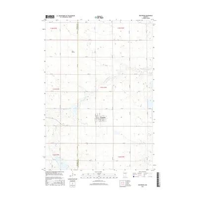
2016 Map of Westbrook
USGS Topo · Published 2016About this map
Westbrook sits at the heart of this southwestern Minnesota prairie landscape, serving as a concentrated pocket of settlement amidst a vast grid of section roads. The town's layout, defined by streets like Davis Ave and Columbus Ave, provides a sharp contrast to the surrounding agricultural townships of t107n r38w and t107n r39w. Natural hydrology in this region is distinctive, characterized by shallow basins and meandering waterways such as Dutch Charley Cr and Highwater Cr.
Find a feature on this map
57 named features on this map. Tap any name to fly to it.
Don’t see what you’re looking for? This feature index may not catch every label — zoom into the map to look around manually.
Map Details
Editions of this 2016 Westbrook Map
This is the sole edition of this map. No revisions or reprints were ever made.
Other maps of this area

1953 · New Ulm
USGS Topo · 1:250,000

1954 · Fairmont
USGS Topo · 1:250,000

1957 · New Ulm
USGS Topo · 1:250,000

1958 · New Ulm
USGS Topo · 1:250,000

1958 · Fairmont
USGS Topo · 1:250,000

1967 · New Ulm
USGS Topo · 1:250,000

1967 · Walnut Grove
USGS Topo · 1:24,000

1967 · Tracy East
USGS Topo · 1:24,000

1967 · Storden
USGS Topo · 1:24,000

1967 · Dovray
USGS Topo · 1:24,000