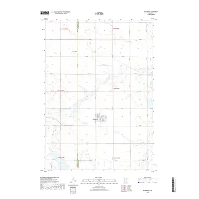
2019 Map of Westbrook
USGS Topo · Published 2019About this map
Westbrook sits at the intersection of CO Hwy 24 and CO Hwy 7 in this southwestern Minnesota agricultural landscape. The township grid is defined by a dense network of section roads, where the Murray Co Cottonwood Co boundary divides the western and eastern portions of the map. This area is characterized by numerous seasonal wetlands and depressions, most notably the Snow Lakebed to the northwest of the main settlement.
Find a feature on this map
50 named features on this map. Tap any name to fly to it.
Don’t see what you’re looking for? This feature index may not catch every label — zoom into the map to look around manually.
Map Details
Editions of this 2019 Westbrook Map
This is the sole edition of this map. No revisions or reprints were ever made.
Other maps of this area

1953 · New Ulm
USGS Topo · 1:250,000

1954 · Fairmont
USGS Topo · 1:250,000

1957 · New Ulm
USGS Topo · 1:250,000

1958 · New Ulm
USGS Topo · 1:250,000

1958 · Fairmont
USGS Topo · 1:250,000

1967 · New Ulm
USGS Topo · 1:250,000

1967 · Walnut Grove
USGS Topo · 1:24,000

1967 · Tracy East
USGS Topo · 1:24,000

1967 · Storden
USGS Topo · 1:24,000

1967 · Dovray
USGS Topo · 1:24,000