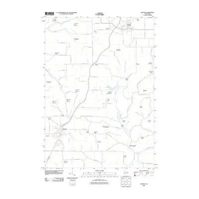
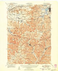
2010 Map of Westby
USGS Topo · Published 2010About this map
Westby and the surrounding coulees of Vernon County are defined by a complex network of ridges and narrow valleys at the turn of the 21st century. High points like Rongstad Ridge and Clinton Ridge look down upon agricultural pockets such as Gronemus Valley and Jersey Valley. The landscape is etched with the drainage of the West Fork Kickapoo River and Timber Coulee Creek, where a series of flood control structures, including the Coon Creek 25 D-6025 Dam and others, have been established to manage the regional watershed.
Find a feature on this map
96 named features on this map. Tap any name to fly to it.
Don’t see what you’re looking for? This feature index may not catch every label — zoom into the map to look around manually.
Map Details
Editions of this 2010 Westby Map
This is the sole edition of this map. No revisions or reprints were ever made.
Other maps of this area
1909 · Sparta
USGS Topo · 1:62,500
1916 · Tomah
USGS Topo · 1:62,500
1923 · Viroqua
USGS Topo · 1:62,500
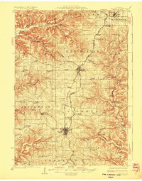
1926 · Viroqua
USGS Topo · 1:62,500
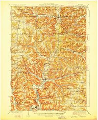
1926 · La Farge
USGS Topo · 1:62,500
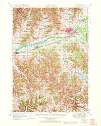
1947 · Sparta
USGS Topo · 1:62,500
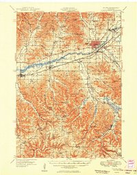
1949 · Sparta
USGS Topo · 1:62,500
1949 · Tomah
USGS Topo · 1:62,500

1958 · La Crosse
USGS Topo · 1:250,000

1961 · La Crosse
USGS Topo · 1:250,000