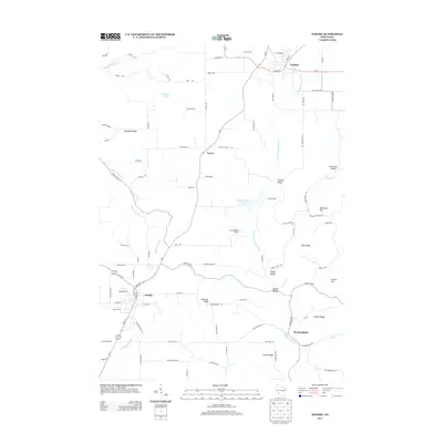
2013 Map of Westby
USGS Topo · Published 2013About this map
The city of Westby anchors the southwestern portion of this landscape, where the N Fork Bad Axe River originates amidst a network of ridges and coulees. This 2013 survey illustrates the rugged topography characteristic of the Driftless Area, defined by prominent landforms such as Rongstad Ridge, Buckskin Ridge, and Wang Ridge. The settlement of Cashton sits to the northeast, connected by Wi-27, which serves as a primary north-south corridor through the small community of Newry.
Find a feature on this map
97 named features on this map. Tap any name to fly to it.
Don’t see what you’re looking for? This feature index may not catch every label — zoom into the map to look around manually.
Map Details
Editions of this 2013 Westby Map
This is the sole edition of this map. No revisions or reprints were ever made.
Other maps of this area

1909 · Sparta
USGS Topo · 1:62,500

1916 · Tomah
USGS Topo · 1:62,500

1923 · Viroqua
USGS Topo · 1:62,500

1926 · Viroqua
USGS Topo · 1:62,500

1926 · La Farge
USGS Topo · 1:62,500

1947 · Sparta
USGS Topo · 1:62,500

1949 · Sparta
USGS Topo · 1:62,500

1949 · Tomah
USGS Topo · 1:62,500

1958 · La Crosse
USGS Topo · 1:250,000

1961 · La Crosse
USGS Topo · 1:250,000