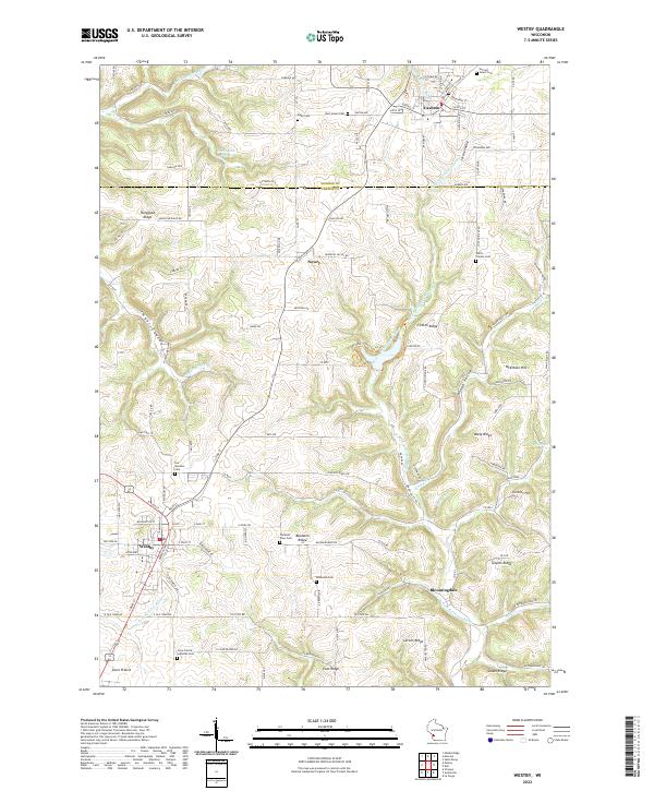
2022 Map of Westby
USGS Topo · Published 2022About this map
High ridges and deep coulees define the Driftless Area landscape surrounding Westby and Cashton in this modern survey. The map details a complex network of terrain features named for local families and natural landmarks, including Rongstad Ridge, Goplin Ridge, and McElhose Hill. These elevations frame the winding paths of the W Fork Kickapoo River and the N Fork Bad Axe River, illustrating how the region's topography has dictated the development of rural settlements like Newry and Bloomingdale.
Find a feature on this map
92 named features on this map. Tap any name to fly to it.
Don’t see what you’re looking for? This feature index may not catch every label — zoom into the map to look around manually.
Map Details
Editions of this 2022 Westby Map
This is the sole edition of this map. No revisions or reprints were ever made.
Other maps of this area

1909 · Sparta
USGS Topo · 1:62,500

1916 · Tomah
USGS Topo · 1:62,500

1923 · Viroqua
USGS Topo · 1:62,500

1926 · Viroqua
USGS Topo · 1:62,500

1926 · La Farge
USGS Topo · 1:62,500

1947 · Sparta
USGS Topo · 1:62,500

1949 · Sparta
USGS Topo · 1:62,500

1949 · Tomah
USGS Topo · 1:62,500

1958 · La Crosse
USGS Topo · 1:250,000

1961 · La Crosse
USGS Topo · 1:250,000