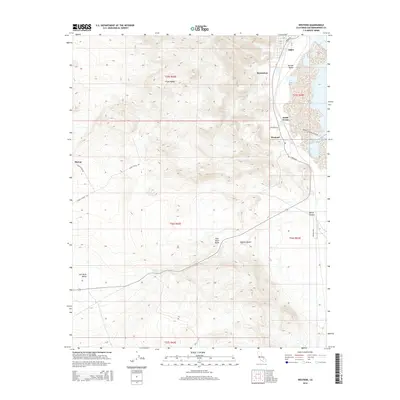
2015 Map of Westend
USGS Topo · Published 2015About this map
Argus and Westend sit at the desert’s edge, where the industrial mining landscape of Searles Valley meets the rising slopes of the Argus Range. This 2015 study by the U.S. Geological Survey documents a region defined by mineral extraction and the harsh conditions of the Mojave Desert. The map reveals a network of industrial and utility corridors, including Trona Rd, Pumping Station Access Rd, and Lakeview Dr, which connect the settlements of South Trona and Borosolvay to the dry lake beds.
Find a feature on this map
28 named features on this map. Tap any name to fly to it.
Don’t see what you’re looking for? This feature index may not catch every label — zoom into the map to look around manually.
Map Details
Editions of this 2015 Westend Map
This is the sole edition of this map. No revisions or reprints were ever made.
Other maps of this area

1915 · Searles Lake
USGS Topo · 1:250,000

1947 · Trona
USGS Topo · 1:250,000

1948 · Trona
USGS Topo · 1:250,000

1949 · Trona
USGS Topo · 1:62,500

1949 · Searles Lake
USGS Topo · 1:62,500

1950 · Searles Lake
USGS Topo · 1:62,500

1950 · Trona
USGS Topo · 1:62,500

1953 · Mountain Springs Canyon
USGS Topo · 1:62,500

1953 · Ridgecrest
USGS Topo · 1:62,500

1953 · Trona
USGS Topo · 1:250,000