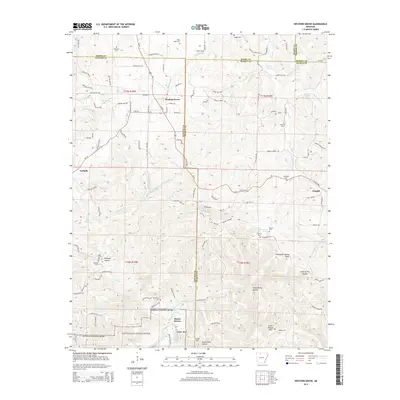
2014 Map of Western Grove
USGS Topo · Published 2014About this map
The Buffalo National River winds through the southern portion of this survey, defining a landscape of hollows and ridges where the boundaries of Newton, Searcy, Boone, and Marion counties meet. The settlement of Western Grove serves as a central hub, connected to outlying communities like Yardelle and Pindall via a network of rural routes including Ar-123. This 2014 data reflects a region deeply tied to its geography, with numerous small family and community burial grounds such as Wilbourn Cem, Mt Hersey Cem, and Dugger Cem scattered across the uplands. Steep terrain features like Copper Bluff and Lead Hill overlook the river valley, while named water sources like Mitch Hill Spring and Chinquapin Spring indicate the importance of karst hydrology to the local topography. The map provides a detailed view of the winding mountain roads and the dispersed settlement pattern characteristic of the Ozark plateau.
Find a feature on this map
111 named features on this map. Tap any name to fly to it.
Don’t see what you’re looking for? This feature index may not catch every label — zoom into the map to look around manually.
Map Details
Editions of this 2014 Western Grove Map
This is the sole edition of this map. No revisions or reprints were ever made.
Other maps of this area

1892 · Marshall
USGS Topo · 1:125,000

1893 · Yellville
USGS Topo · 1:125,000

1894 · Marshall
USGS Topo · 1:125,000

1901 · Marshall
USGS Topo · 1:125,000

1903 · Yellville
USGS Topo · 1:125,000

1904 · Harrison
USGS Topo · 1:125,000

1905 · Harrison
USGS Topo · 1:125,000

1905 · Yellville
USGS Topo · 1:125,000

1929 · Yellville
USGS Topo · 1:125,000

1933 · Mt Judea
USGS Topo · 1:62,500