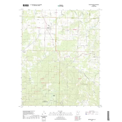
2020 Map of Western Grove
USGS Topo · Published 2020About this map
The Western Grove area, where the boundaries of Boone, Newton, Marion, and Searcy counties converge, is defined by its deep hollows and high ridges above the Buffalo National River. The landscape is dotted with small family and community burial grounds, including Wilbourn Cem, Bald Knob Cem, and Kilburn Cem, which sit alongside historic spring-fed water sources like Glencoe Spring and Mitch Hill Spring. This Ozark plateau terrain transitions from the settlement at Western Grove down toward the rugged southern slopes of Cane Branch Hills.
Find a feature on this map
106 named features on this map. Tap any name to fly to it.
Don’t see what you’re looking for? This feature index may not catch every label — zoom into the map to look around manually.
Map Details
Editions of this 2020 Western Grove Map
This is the sole edition of this map. No revisions or reprints were ever made.
Other maps of this area

1892 · Marshall
USGS Topo · 1:125,000

1893 · Yellville
USGS Topo · 1:125,000

1894 · Marshall
USGS Topo · 1:125,000

1901 · Marshall
USGS Topo · 1:125,000

1903 · Yellville
USGS Topo · 1:125,000

1904 · Harrison
USGS Topo · 1:125,000

1905 · Harrison
USGS Topo · 1:125,000

1905 · Yellville
USGS Topo · 1:125,000

1929 · Yellville
USGS Topo · 1:125,000

1933 · Mt Judea
USGS Topo · 1:62,500