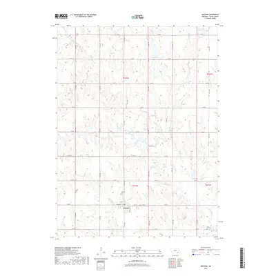
2017 Map of Western
USGS Topo · Published 2017About this map
Western serves as the primary hub of this agricultural landscape in Saline County, where a strictly ordered grid of county roads defines the movement across the prairie. The town center is concentrated around W Sumner St and S Bradshaw St, housing the local Po and central services. The surrounding countryside reveals a strong genealogical record, with several burial grounds such as Union Cem to the northwest and Plainview Cem just north of the village. The drainage of the land is dominated by the wandering paths of N Fork Swan Cr and Spring Cr, which break the geometric precision of the farm plots. In the northeast corner, the Kreshal Reservoir and Walnut Grove Cr provide distinct landmarks in an area otherwise characterized by systematic section lines and section corners.
Find a feature on this map
33 named features on this map. Tap any name to fly to it.
Don’t see what you’re looking for? This feature index may not catch every label — zoom into the map to look around manually.
Map Details
Editions of this 2017 Western Map
This is the sole edition of this map. No revisions or reprints were ever made.
Other maps of this area

1935 · Dorchester
USGS Topo · 1:48,000

1940 · Dorchester
USGS Topo · 1:62,500

1955 · Lincoln
USGS Topo · 1:250,000

1957 · Lincoln
USGS Topo · 1:250,000

1958 · Lincoln
USGS Topo · 1:250,000

1960 · Western SW
USGS Topo · 1:24,000

1960 · Daykin
USGS Topo · 1:24,000

1961 · Tobias
USGS Topo · 1:24,000

1961 · Western
USGS Topo · 1:24,000

1961 · Western SE
USGS Topo · 1:24,000