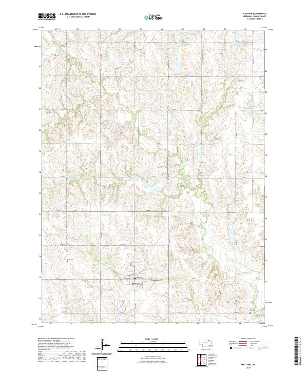
2021 Map of Western
USGS Topo · Published 2021About this map
Western serves as the primary hub of this agricultural section of Saline County, where the grid of sections meets the meandering paths of Spring Creek and the N Fork Swan Cr. The town is structured around S Bradshaw St and W Sumner St, reflecting a late-settlement layout that persists into the early 21st century. For genealogists, the map is particularly valuable for its documentation of rural burials, identifying Plainview Cem to the northwest of town, Union Cem to the west, and South Fork Cem located near the southeastern corner of the quadrangle.
Find a feature on this map
34 named features on this map. Tap any name to fly to it.
Don’t see what you’re looking for? This feature index may not catch every label — zoom into the map to look around manually.
Map Details
Editions of this 2021 Western Map
This is the sole edition of this map. No revisions or reprints were ever made.
Other maps of this area

1935 · Dorchester
USGS Topo · 1:48,000

1940 · Dorchester
USGS Topo · 1:62,500

1955 · Lincoln
USGS Topo · 1:250,000

1957 · Lincoln
USGS Topo · 1:250,000

1958 · Lincoln
USGS Topo · 1:250,000

1960 · Western SW
USGS Topo · 1:24,000

1960 · Daykin
USGS Topo · 1:24,000

1961 · Tobias
USGS Topo · 1:24,000

1961 · Western
USGS Topo · 1:24,000

1961 · Western SE
USGS Topo · 1:24,000