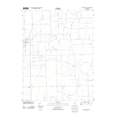
2012 Map of Westfield East
USGS Topo · Published 2012About this map
Westfield stands as the primary settlement on this Illinois landscape, situated near the western edge where Mill Cr and W Fork Cr converge. The terrain is defined by the winding course of the N Fork Embarras River and its numerous tributaries, including Lambs Br and McNary Br. This modern survey illustrates a classic Midwestern agricultural grid, punctuated by small rural communities like Cleone and the aptly named Oilfield, reflecting the area's historical connection to resource extraction. For those tracing local roots, the map provides precise locations for several burial grounds, such as Maple Hill Cem, Conrad Baptist Cem, and Lindsay Cem. The road network, spanning from E State St to the rural Co Rd-2250, connects these scattered settlements across the river valleys and high ground.
Find a feature on this map
101 named features on this map. Tap any name to fly to it.
Don’t see what you’re looking for? This feature index may not catch every label — zoom into the map to look around manually.
Map Details
Editions of this 2012 Westfield East Map
This is the sole edition of this map. No revisions or reprints were ever made.
Other maps of this area

1933 · Toledo
USGS Topo · 1:62,500

1936 · Oakland
USGS Topo · 1:48,000

1936 · Casey
USGS Topo · 1:48,000

1938 · Toledo
USGS Topo · 1:62,500

1942 · Oakland
USGS Topo · 1:62,500

1942 · Casey
USGS Topo · 1:62,500

1943 · Casey
USGS Topo · 1:62,500

1946 · Kansas
USGS Topo · 1:62,500

1949 · Kansas
USGS Topo · 1:62,500

1953 · Indianapolis
USGS Topo · 1:250,000