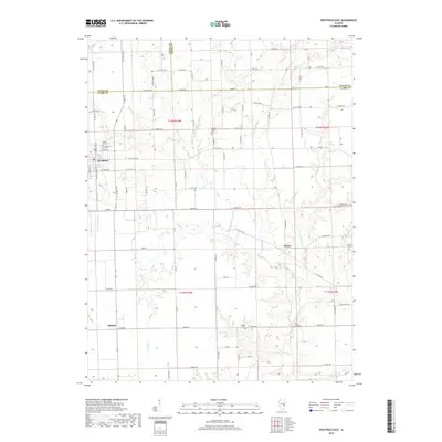
2018 Map of Westfield East
USGS Topo · Published 2018About this map
Westfield sits at the intersection of local history and rural geography, where the borders of Coles, Edgar, and Clark counties meet. This landscape is defined by the winding course of the N Fork Embarras River and its numerous tributaries, including McNary Br and Lambs Br. The drainage patterns here heavily influenced the placement of early settlements and the subsequent rural road network, which follows a rigid grid punctuated by the organic lines of the river valleys. Genealogists will find a wealth of data through several established burial grounds, such as Maple Hill Cem, Methodist Cem, and the Conrad Baptist Cem. The southern portion of the map includes the specifically named locality of Oilfield, a namesake pointing to the region's historical industrial activity. Smaller hamlets like Cleone and the landmark at Twin Bridges further illustrate the distribution of 21st-century rural Illinois life.
Find a feature on this map
66 named features on this map. Tap any name to fly to it.
Don’t see what you’re looking for? This feature index may not catch every label — zoom into the map to look around manually.
Map Details
Editions of this 2018 Westfield East Map
This is the sole edition of this map. No revisions or reprints were ever made.
Other maps of this area

1933 · Toledo
USGS Topo · 1:62,500

1936 · Oakland
USGS Topo · 1:48,000

1936 · Casey
USGS Topo · 1:48,000

1938 · Toledo
USGS Topo · 1:62,500

1942 · Oakland
USGS Topo · 1:62,500

1942 · Casey
USGS Topo · 1:62,500

1943 · Casey
USGS Topo · 1:62,500

1946 · Kansas
USGS Topo · 1:62,500

1949 · Kansas
USGS Topo · 1:62,500

1953 · Indianapolis
USGS Topo · 1:250,000