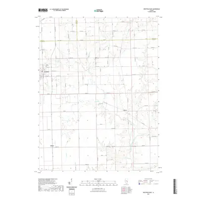
2021 Map of Westfield East
USGS Topo · Published 2021About this map
Westfield sits at the intersection of local history and rural geography where Coles, Clark, and Edgar counties meet. This agricultural landscape is defined by the winding course of the N Fork Embarras River and its numerous tributaries, including McNary Br and Doyles Cr. The survey captures the small communities of Cleone and Oilfield, the latter name hinting at the region's industrial past. Genealogists will find significant value in the distribution of family and community burial grounds scattered across the townships, such as Maple Hill Cem near the town center, Conrad Baptist Cem, and the remote Ennis Cem. The infrastructure is characterized by a precise grid of county roads, like Clarksville Rd and Co Hwy 8, crossing natural landmarks like the Twin Bridges over the river.
Find a feature on this map
88 named features on this map. Tap any name to fly to it.
Don’t see what you’re looking for? This feature index may not catch every label — zoom into the map to look around manually.
Map Details
Editions of this 2021 Westfield East Map
This is the sole edition of this map. No revisions or reprints were ever made.
Other maps of this area

1933 · Toledo
USGS Topo · 1:62,500

1936 · Oakland
USGS Topo · 1:48,000

1936 · Casey
USGS Topo · 1:48,000

1938 · Toledo
USGS Topo · 1:62,500

1942 · Oakland
USGS Topo · 1:62,500

1942 · Casey
USGS Topo · 1:62,500

1943 · Casey
USGS Topo · 1:62,500

1946 · Kansas
USGS Topo · 1:62,500

1949 · Kansas
USGS Topo · 1:62,500

1953 · Indianapolis
USGS Topo · 1:250,000