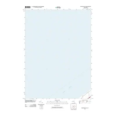
2010 Map of Westfield OE N
USGS Topo · Published 2010About this map
Lake Erie dominates this coastal landscape in western New York, representing the northernmost reach of the Chautauqua County shoreline. This 2010 survey focuses heavily on the aquatic expanse, detailing the bathymetry and shoreline characteristics along the state's Great Lakes border. In the southeastern corner of the map, the terrestrial landscape begins to emerge near the community of Portland, where E Forest Ave and a section of the regional transportation corridor are visible. The map captures a specific moment in the early 21st century when the infrastructure along the lake was documented with high precision using U.S. Department of the Interior data, illustrating the narrow band of development between the water and the inland hills.
Find a feature on this map
2 named features on this map. Tap any name to fly to it.
Don’t see what you’re looking for? This feature index may not catch every label — zoom into the map to look around manually.
Map Details
Editions of this 2010 Westfield OE N Map
This is the sole edition of this map. No revisions or reprints were ever made.
Other maps of this area

1899 · Westfield
USGS Topo · 1:62,500

1900 · Dunkirk
USGS Topo · 1:62,500

1943 · Dunkirk
USGS Topo · 1:62,500
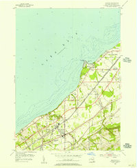
1954 · Brocton
USGS Topo · 1:24,000
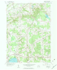
1954 · Hartfield
USGS Topo · 1:24,000

1954 · Ripley
USGS Topo · 1:24,000
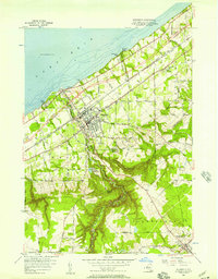
1954 · Westfield
USGS Topo · 1:24,000

1960 · Buffalo
USGS Topo · 1:250,000

1962 · Buffalo
USGS Topo · 1:250,000

1967 · Buffalo
USGS Topo · 1:250,000