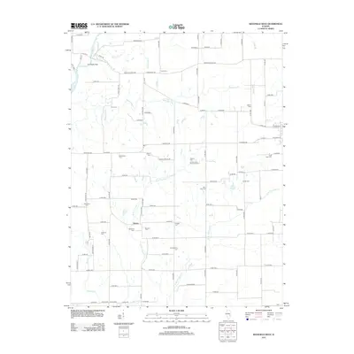
2012 Map of Westfield West
USGS Topo · Published 2012About this map
The Coles County Poor Farm Cem serves as a somber landmark on this Coles County landscape, situated near the headwaters of the W Br Hurricane Cr. This rural expanse is defined by a dense concentration of small family and community burial grounds, including the Wiley Brick Cem, Shoot Cem, and Salisbury Cem, which provide invaluable touchpoints for genealogical research in the area.
Find a feature on this map
99 named features on this map. Tap any name to fly to it.
Don’t see what you’re looking for? This feature index may not catch every label — zoom into the map to look around manually.
Map Details
Editions of this 2012 Westfield West Map
This is the sole edition of this map. No revisions or reprints were ever made.
Other maps of this area
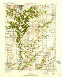
1933 · Toledo
USGS Topo · 1:62,500
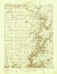
1936 · Oakland
USGS Topo · 1:48,000
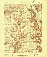
1936 · Casey
USGS Topo · 1:48,000
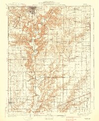
1938 · Toledo
USGS Topo · 1:62,500
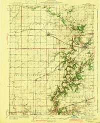
1942 · Oakland
USGS Topo · 1:62,500
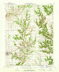
1942 · Casey
USGS Topo · 1:62,500
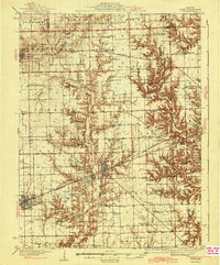
1943 · Casey
USGS Topo · 1:62,500
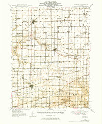
1946 · Kansas
USGS Topo · 1:62,500
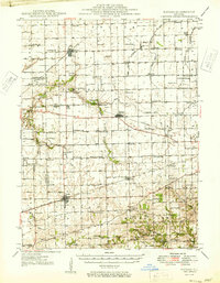
1949 · Kansas
USGS Topo · 1:62,500

1953 · Indianapolis
USGS Topo · 1:250,000