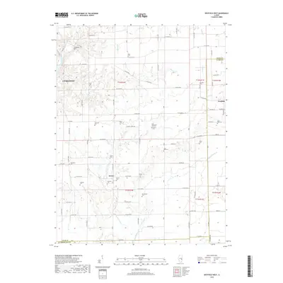
2018 Map of Westfield West
USGS Topo · Published 2018About this map
Coles County Poor Farm Cem and Stewart Cem sit at the center of this rural landscape, which spans the intersection of Coles, Clark, and Cumberland counties. The terrain is defined by the deep dissection of the Embarras River valley to the northwest and an intricate web of drainage including Hurricane Cr and its many branches to the south. Small settlements like Hutton and Stringtown serve as anchors for a grid of country roads, while the eastern edge of Charleston and the western fringe of Westfield mark the more developed boundaries of the quadrangle. Genealogists will find a high density of burial sites throughout these sections, from the Wiley Brick Cem to the Otterbein Cem. Notable landmarks such as The Rocks Park near the river and the curiously named Shoot Cem reflect the local heritage and land use patterns of this agricultural region.
Find a feature on this map
77 named features on this map. Tap any name to fly to it.
Don’t see what you’re looking for? This feature index may not catch every label — zoom into the map to look around manually.
Map Details
Editions of this 2018 Westfield West Map
This is the sole edition of this map. No revisions or reprints were ever made.
Other maps of this area

1933 · Toledo
USGS Topo · 1:62,500

1936 · Oakland
USGS Topo · 1:48,000

1936 · Casey
USGS Topo · 1:48,000

1938 · Toledo
USGS Topo · 1:62,500

1942 · Oakland
USGS Topo · 1:62,500

1942 · Casey
USGS Topo · 1:62,500

1943 · Casey
USGS Topo · 1:62,500

1946 · Kansas
USGS Topo · 1:62,500

1949 · Kansas
USGS Topo · 1:62,500

1953 · Indianapolis
USGS Topo · 1:250,000