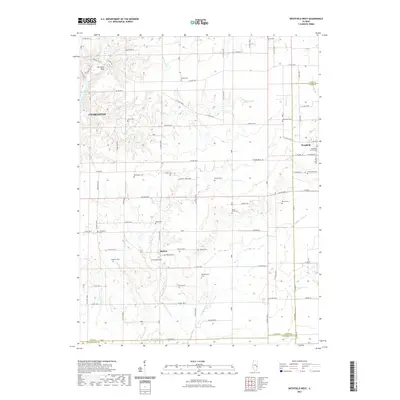
2021 Map of Westfield West
USGS Topo · Published 2021About this map
The eastern edges of Charleston and the rural reaches of eastern Coles County are defined by a dense network of country cemeteries and small settlements. The landscape transitions from the residential outskirts of the city toward the small community of Hutton and the western portion of Westfield, which sits on the Clark County line. The Embarras River snakes along the western edge near The Rocks Park, while the interior is drained by numerous small watercourses like Whetstone Cr and Hurricane Cr.
Find a feature on this map
70 named features on this map. Tap any name to fly to it.
Don’t see what you’re looking for? This feature index may not catch every label — zoom into the map to look around manually.
Map Details
Editions of this 2021 Westfield West Map
This is the sole edition of this map. No revisions or reprints were ever made.
Other maps of this area

1933 · Toledo
USGS Topo · 1:62,500

1936 · Oakland
USGS Topo · 1:48,000

1936 · Casey
USGS Topo · 1:48,000

1938 · Toledo
USGS Topo · 1:62,500

1942 · Oakland
USGS Topo · 1:62,500

1942 · Casey
USGS Topo · 1:62,500

1943 · Casey
USGS Topo · 1:62,500

1946 · Kansas
USGS Topo · 1:62,500

1949 · Kansas
USGS Topo · 1:62,500

1953 · Indianapolis
USGS Topo · 1:250,000