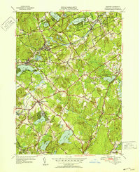
1950 Map of Westford
USGS Topo · Published 1952About this map
St Catherine Cem and the Russian Cem sit near the industrial heart of Forge Village and Graniteville, where the Boston and Maine Railroad winds through the hills. This mid-century survey illustrates a Massachusetts landscape transitioning from its 19th-century mill-town roots toward modern suburbanization. The sheet is defined by its numerous glacial ponds and marshes, including Nagog Pond and the expansive Tadmuck Swamp. Distinctive family-named summits like Proctor Hill and Nashoba Hill rise above a dense network of roads such as Great Road and Littleton Road. The map also captures several rail-dependent hamlets, including Westford Sta and Carlisle Sta, reflecting a era when rail still anchored local commerce and movement between the towns of Westford and Littleton.
Find a feature on this map
89 named features on this map. Tap any name to fly to it.
Don’t see what you’re looking for? This feature index may not catch every label — zoom into the map to look around manually.
Map Details
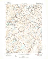
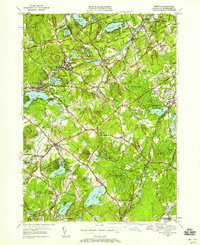
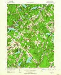
Editions of this 1950 Westford Map
4 editions found
Other maps of this area

1886 · Lowell
USGS Topo · 1:62,500

1886 · Framingham
USGS Topo · 1:62,500

1887 · Marlboro
USGS Topo · 1:62,500

1889 · Marlboro
USGS Topo · 1:62,500

1889 · Framingham
USGS Topo · 1:62,500

1893 · Lowell
USGS Topo · 1:62,500

1893 · Groton
USGS Topo · 1:62,500

1894 · Framingham
USGS Topo · 1:62,500

1896 · Marlboro
USGS Topo · 1:62,500

1898 · Marlboro
USGS Topo · 1:62,500