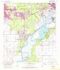
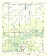
1955 Map of Westlake
USGS Topo · Published 1968About this map
Industrial expansion along the Calcasieu River defines this mid-century portrait of southwestern Louisiana, where the heavy infrastructure of the Oil Refinery and Haymark Terminal meets the sprawling waterways of Prien Lake and Lake Charles. The landscape is a complex network of maritime and rail commerce, featuring the Rose Bluff Cutoff Ship Channel and the tracks of the Southern Pacific and Kansas City Southern railroads. Residential growth is evident in communities like Maplewood, Hollywood, and Westlake, while rural markers such as Roseland Cem and Mimosa-Pines Cem provide essential data for genealogical research. The transition from established town centers like Sulphur to the developing suburbs and oil fields highlights the era's rapid postwar transformation from a river-based economy to a major industrial hub.
Find a feature on this map
52 named features on this map. Tap any name to fly to it.
Don’t see what you’re looking for? This feature index may not catch every label — zoom into the map to look around manually.
Map Details
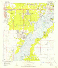
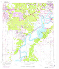
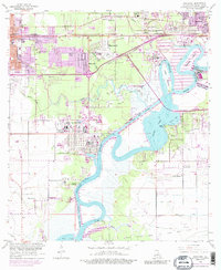
Editions of this 1955 Westlake Map
4 editions found
Other maps of this area

1932 · Moss Lake
USGS Topo · 1:31,680

1932 · Lake Charles NW
USGS Topo · 1:31,680

1932 · Lake Charles SW
USGS Topo · 1:31,680

1935 · Buhler
USGS Topo · 1:31,680
1935 · Moss Bluff
USGS Topo · 1:31,680

1942 · Lake Charles
USGS Topo · 1:62,500

1946 · Moss Lake
USGS Topo · 1:31,680
1947 · Sulphur
USGS Topo · 1:31,680
1947 · Moss Bluff
USGS Topo · 1:31,680

1947 · Sulphur Mines
USGS Topo · 1:31,680